
Land Management Mapping tools
- Home
- Land Management Mapping tools
At the landscape or watershed level, WOCAT has developed land management mapping tools including:
- Land degradation and
conservation: mapping land management, land
degradation, and SLM, and assessing drivers, state of the land, and on- and
off-site impacts (within a landscape, watershed, or region)
- Watershed and runoff: mapping land management and assessing runoff and outflow from a watershed (questionnaire, mapping app, and database)
Land management at the landscape/ watershed level combines local land management in different land use types, fulfilling multiple claims and functions, with impacts on the whole landscape/ watershed. This includes interactions on a slope from hilltop to valley, up- and downstream within a watershed, or “up”- and “downwind” within a region affected by wind (and dust storms).
Land management at the local level addresses individual land management practices ranging from smallholder to large-scale practices within a large variety of Land Use Types (LUTs) such as cropland, grazing land, forest/ woodlands, mixed land, etc. It does not address the combination of various land management practices within a landscape, watershed, or administrative area.
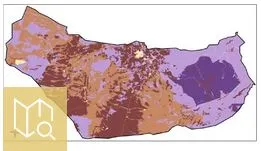
The WOCAT-LADA land degradation and SLM Mapping Questionnaire (QM) has been developed to analyse and depict the spatial distribution of SLM and land degradation processes, causes, and impacts.
All the data on land degradation and SLM documented on the old WOCAT database are available on the WOCAT website, and can be visualised in GIS.

Simple guidelines to support the realization of QM step by step developed in the framework of the DS-SLM project.
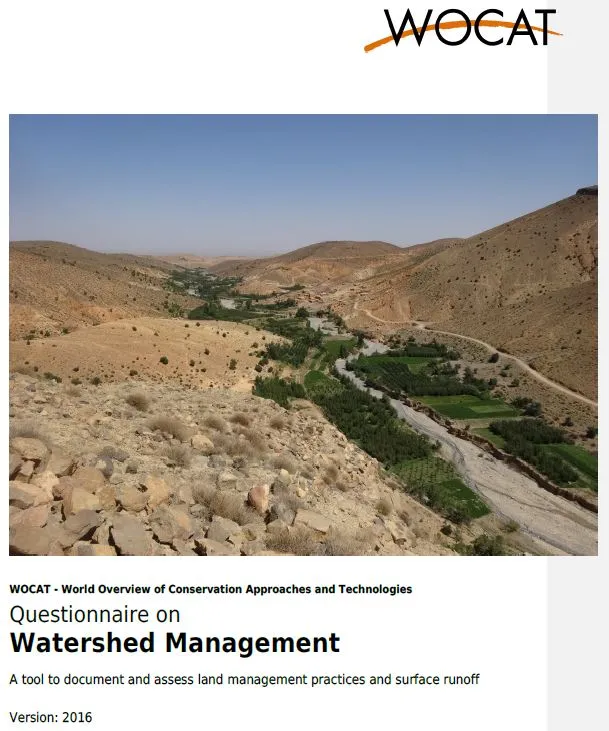
The WOCAT SLM Watershed Tool helps to assess land management within a watershed and its impacts on
ecosystem services (mainly runoff).
The assessment is divided into the following steps:
The watershed is assessed in the field through a participatory process by means of an offline watershed app:- the watershed is divided into three zones and the current situation of Land Use Types (LUTs) and Land Management (LM) is indicated
- depending on the LUTs and LM the runoff from a given rainfall can be assessed, as well as the accumulated outflow from the whole watershed
- potential future scenarios of LUTs and LM and their effects on runoff can be simulated
The tool hence helps to identify the sum of impacts of different land management practices within a watershed.