Guidelines for the national assessment and mapping of land degradation and conservation
These guidelines are designed to support and guide national experts and institutions in preparing and implementing participatory national and subnational assessments of LD and SLM in a stepwise approach. They were produced within the framework of the DS-SLM project to enable national authorities in the 15 countries involved in the DS-SLM project to increase their understanding and application of LADA–WOCAT mapping tools.
Guidelines for the national assessment and mapping of land degradation and conservation
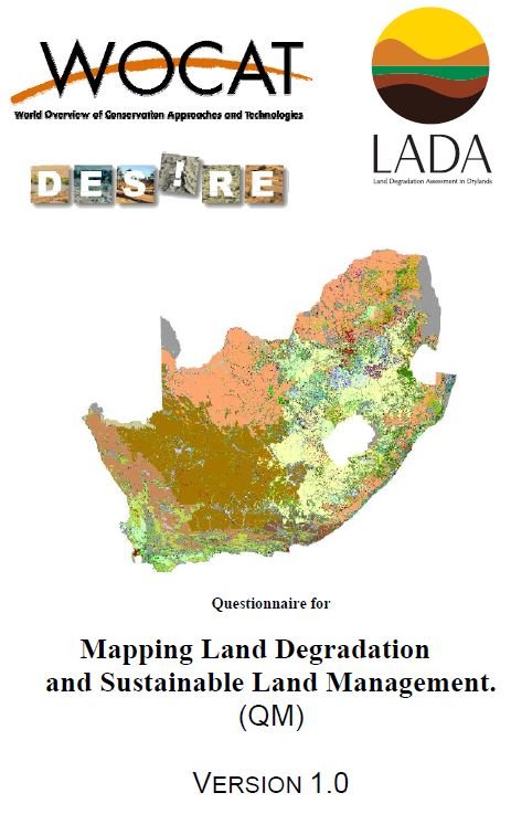
The WOCAT-LADA land degradation and SLM Mapping Questionnaire
(QM) has been developed to analyse and depict the spatial distribution of SLM
and land degradation processes, causes, and impacts.
The mapping database, developed in 2009, is now offline and all
documented maps. Here you can find an overview of all data as an excel
file documented with the Questionnaire for Mapping from the old mapping
database.
Our site saves small pieces of text information (cookies) on your device in order to deliver better content and for statistical purposes. You can disable the usage of cookies by changing the settings of your browser. By browsing our website without changing the browser settings you grant us permission to store that information on your device.