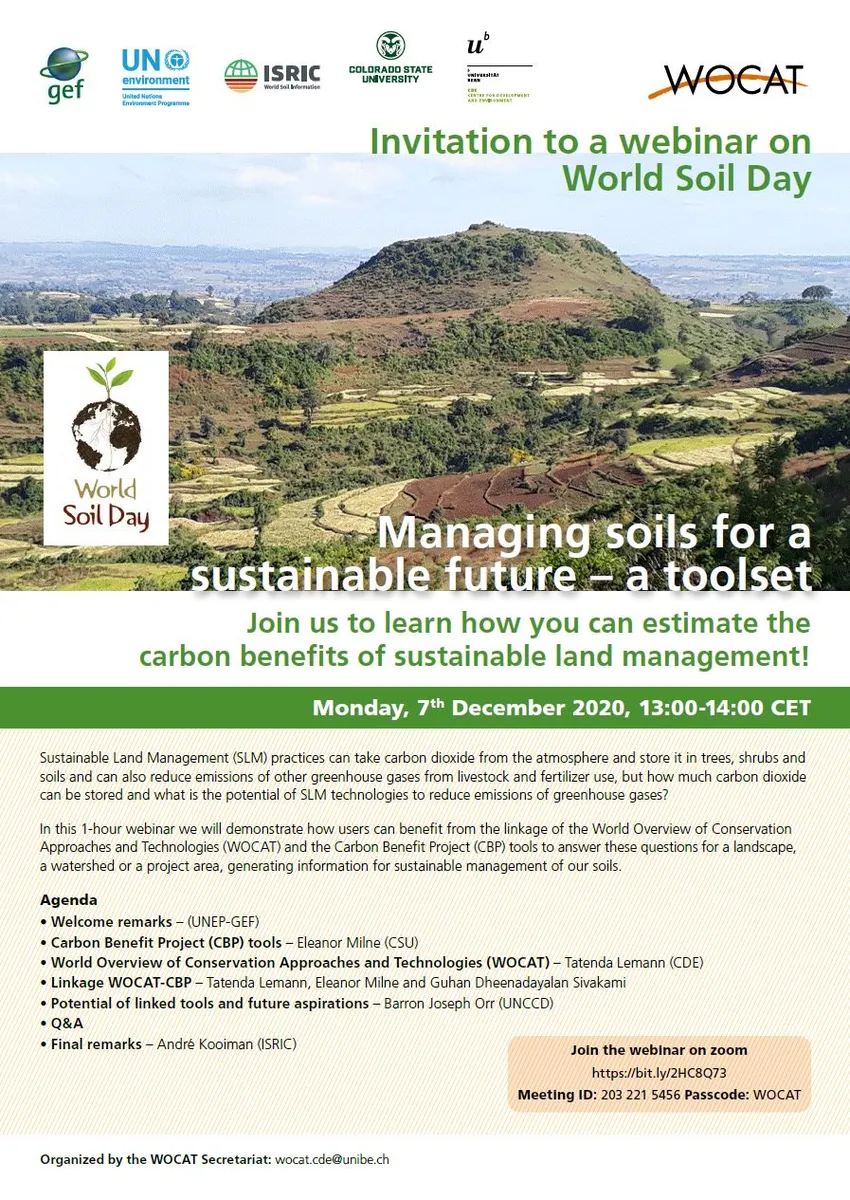
Webinar on World Soil Day
Managing soils for a sustainable future – a toolset
Monday, 7th
December 2020, 13:00-14:00 CET
If you missed the webinar, please find the recoding, the presentations and the Q&A below.
Answers to the questions raised during the webinar
Has the CBP tool be considered for certification under one of the standards (VCS, Goldstandard...) to generate certified emission reductions/emissions?
No it hasn’t but many standards state that you must use a method that follows or is comparable to the IPCC method and the CBP does this. The CBP Detailed Assessment gives you the flexibility to use your own site specific emission factors which is required for most schemes. You can collect data for these EFs in a way that We are currently working on putting together some guidance for users who wan
How to calculate the carbon stock?
If you produce a detailed report for either the Initial land use, the baseline scenario or the project scenario it will give you a carbon stock on the relevant tabs for soils and biomass.
Why do you give online training?
At the moment we have been doing online trainings because of travel restrictions due to covid. We are responding online training please get in touch and we can provide them
What type of emission factors are used by the tool to calculate emission reductions (Tier 1, Tier 2...)?
The CBP has two tools, the Simple Assessment which uses Tier 1 emission factors and the Detailed Assessment which allows users to put in their own Tier 2 factors where they have them and use default Tier 1 factors where they don’t.
How are
additionality, permanence and leakage addressed within the tool?
Additionality is inherent within the tool as this is a scenario analysis tool so you have to compare your activities to a baseline scenario to show they provide an incremental benefit. Leakage can be addressed by designating separate ‘leakage areas’ in your analysis and accounting for the emissions in those areas in your overall estimations. A guidance document on how to do this is provided in the CBP help pages,
Do you
think, can we use CBP tools to apply the reduce of GHG emission for NDC goal in
each country?
Yes, if you use the tools for landscape scale activities which do/could form part of your overall mitigation strategy. The report produced by the system includes emissions report in the UNFCCC format so can easily be used to form part of your national reporting. We would actively encourage this as many countries seem to have a disconnect between their landscape scale activities and there national reporting.
Does the CBP GHG estimate tool, also differentiate GHG savings/storage for specific tree species? Or does it use default averages?
The Simple Assessment uses forest types, tree types etc. provided by the IPCC. This is forest types for forestland, tree type for settlements, agroforestry and silvipasture. In the Detailed Assessment you can create your own forest and tree types using your own data and adjust growth rates, root to shoot ratio and other factors using information you have.
How are climate variables factored in the CBP tools?
The CBP has a climate layer which you can look at if you go into the system choose Project Description, Step 2 View data. It uses the IPCC climate zones. At the moment climate change is not accounted for, we hope to seek funds to address this in the future.
Are Carbon Benefit project outcomes linked to http://trends.earth/docs/en/ platform as required for SDG 15.3.1. reporting.
Not yet, but they should be and we hope to work with Trends.Earth in the future
I would like to know is there linkage the economic value from farm to landscape level in CBP tool?
The CBP includes a Cost Benefit Analysis tool where uses can compare the economic costs in setting up and maintaining a land management strategy. This could be used to consider multiple land management activities but several analysis would have to be done and then amalgamated for an entire landscape. WOCAT also collects economic information and has its own economic tools.
If and how is/can the CBP be linked to novel earth observation based monitoring practices (remote sensing, in-situ), to capture land use dynamics over time?
This is something we are seeking funds to do. Earth observation monitoring could currently be used to verify scenarios and extrapolate to create future land use changes to analyse.
Could you clarify the similarities/differences/complementarities with fao ex-act tool which IFAD is using for ex-ante analysis of carbon balance?
CBP has a spatial element whereas ExAct doesn't. With the CBP you start with a map and you can analyse multiple areas at the same time in different landscapes or even countries. Your results are also spatially explicit, so your results are split up by the polygons or points you specified. CBP is online where as ExAct is an Excel application. This means that CBP doesn't rely on the user owning any third party software, something which is good for developing countries.
CBP includes socio-economic tools - a Cost Benefit Analysis and an online DPSIR (a qualitative tool to organise information on cultural and social barriers to the uptake of land management practices)
For the calculation of greenhouse Gaz Emis, we know very well that we should take into account the emission factors. Which ones are used? they are those of the GIEC!
The CBP has two tools, the Simple Assessment which uses Tier 1 emission factors and the Detailed Assessment which allows users to put in their own Tier 2 factors where they have them and use default Tier 1 factors where they don’t.
Any additional link envisaged to animal production systems initiative/data base to consider diversity animal production system and their land use ..
That would be very good and a great addition if we can get funding. At the moment users can alter animal EFs if they want to deal with this.
Can we input varying adoption rate of SLM technologies to estimate CBD impacts at different scales? and can we estimate part adoption?
This is a situation we come up against a lot as many projects set up pilot sites and champion farmers and then wait to see how many farmers take up a practice. You can deal with this by adding extra areas to an existing CBP analysis and running the calculations again. Or - the woody biomass pages in the CBP now allow you to specify which quarter of your project time period things happen in, so you could have a project which added agroforestry trees with a small number being added at the start and then more being added towards the end of the project etc. There is a lot of flexibility.