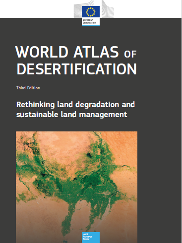
World Atlas fo Desertification (WAD)
Twenty years have passed since the last atlas of desertification was published. Within that short period, the environment has undergone enormous global changes due largely to human activities. Fortunately, because of the massive increase and growth in the availability of global and regional datasets – and the tools necessary to analyse them – significant progress has been made in understanding human-environment interactions. WAD3 thus begins at a very different place than WAD2 in terms of scientific information and understanding. That said, we are also confronted by the rapidly growing appreciation of the complexity of the land degradation phenomenon and all the human factors that both drive it and are derived from it. As a consequence, WAD3 offers an approach that accommodates and embraces these complexities and provides an information framework from which to pursue solutions that fit specific local situations.
WOCAT has contributed seven pages on solutions in this Atlas representing some insights from analysis of the Global SLM Database and with a focus on Central Asia as well as a number of nice photographs spread within the Atlas.
Publications Details
To refer to this 3rd edition of the World Atlas of Desertification please cite as follows:
Cherlet, M., Hutchinson, C., Reynolds, J., Hill, J., Sommer, S., von Maltitz, G. (Eds.), World Atlas of Desertification, Publication Office of the European Union, Luxembourg, 2018.
The full version of this atlas will be available online at: http://wad.jrc.ec.europa.eu
This URL gives access to the index and leads to an interactive map
interface where map layers compiled using the convergence of evidence
concept can be interrogated.
Individual pages in this atlas contain QR codes which, when scanned,
bring the reader to the exact online location to access the related page
content.
World Atlas of Desertification
Printed version
ISBN 978-92-79-75350-3
doi:10.2760/9205
Catalogue number KJ-07-17-008-EN-C
Online version
ISBN 978-92-79-75349-7
doi:10.2760/06292
Catalogue number KJ-07-17-008-EN-N
Copyright notice and discalaimer
© European Union, 2018
The information and views set out in this book are those of the authors
and do not necessarily reflect the official opinion of the European
Union. Neither the European Union institutions and bodies nor any person
acting on their behalf may be held responsible for the use which may be
made of the information contained therein.
The reuse policy of the European Commission is implemented by
Commission Decision 2011/833/EU of 12 December 2011 on the reuse of
Commission documents (OJ L 330, 14.12.2011, p. 39).
Reuse is authorised, provided the source of the document is acknowledged
and its original meaning or message is not distorted. The European
Commission shall not be liable for any
consequence stemming from the reuse.
Reuse of photos/figures/diagrams/data with source: WAD3-JRC, 2018 is authorised.
For reuse of photos/figures/diagrams/data of a third-party source (i.e.
any other than WAD3-JRC, 2018) permissions must be sought directly from
the source.
Sources are indicated throughout the Atlas by:
Source:[identification of the source]).
Published by the Publications Office of the European Union,
L-2995 Luxembourg, Luxembourg.
Cartographic Representations
Underlying cartographic features depicted on the maps in this atlas are
derived from the Digital Chart of the World and Lovell Johns
Cartographic Base. These data do not have any explicit legal status;
hence, no legal aspects should be derived from the information depicted
on any of the maps in this publication.
http://en.wikipedia.org/wiki/Digital_Chart_of_the_World
www.lovelljohns.com
Due to the resolution of the underlying data which is often still too
large to represent small islands, the maps represented in this atlas
might not or not always represent a number of small Pacific islands.
These are, however, insofar datasets relevantly cover small islands,
included in the interactive online version of the maps that allows
zooming in.
Disclaimer of Liability
The European Commission has taken considerable care in preparing the
information presented in this atlas. The political boundaries shown on
the maps are only indicative. The European Commission or UN Environment
assume no responsibility for the information contained in this
publication.
